Trymore Tagwirei
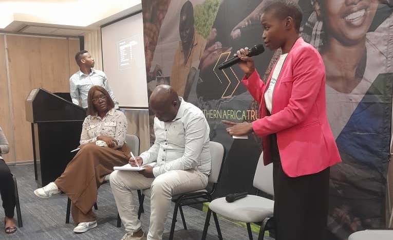
A senior government official has declared that geospatial intelligence is critical to achieving Zimbabwe’s national development goals. The remarks were made by Professor Obert Jiri, Permanent Secretary in the Ministry of Lands, Agriculture, Water, Fisheries and Rural Development, during the Survey Institute of Zimbabwe (SIZ) Annual Conference held recently at the Montclair Hotel and Casino.
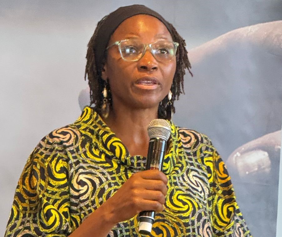
Professor Jiri (pictured), who was the guest of honour, emphasized that as the country transitions from National Development Strategy 1 (NDS1) to NDS2, the role of geospatial science becomes even more crucial.
“Surveying and geospatial sciences are the backbone of effective land administration, agricultural planning, infrastructure development, and environmental management.
“This conference comes at a critical juncture. As we shift focus to NDS2, accurate geospatial data will be key to enhancing land governance, supporting land reform, and reducing disputes,” said Prof Jiri.
The conference, which brought together experts from across the geospatial sector including practitioners from Uganda, Mozambique, Kenya, and South Africa, ran under the theme: “Empowering Development Through Geospatial Intelligence: Lead – Transform – Sustain.”
Geospatial intelligence is the analysis of information tied to a specific location. By integrating imagery, geospatial data, and other sources, it provides critical insights that support decision-making in fields ranging from national security and disaster response to urban planning.
Prof Jiri commended SIZ and its partners for their continued engagement with the government, stressing the economic importance of the sector.
“There is no functioning land market without secure tenure, and that begins with accurate surveying.
“The ongoing subdivisional surveys of A1 and A2 farms underscore the need for professional surveying services,” said Prof Jiri.
SIZ President Elson Matavire said the theme reflects the strategic importance of mobilizing both human and technological resources to achieve sustainable development.
“The words ‘Lead, Transform, and Sustain’ directly align with the 17 United Nations SDGs.
“The theme also supports the government’s Vision 2030 agenda, which is being implemented through NDS1,” said Matavire.
Professor Jiri highlighted the government’s commitment to strengthening policy and promoting modern technologies like GIS, remote sensing, and LiDAR. He underscored the need to digitize land records and develop a National Spatial Data Infrastructure (NSDI).
He also urged professionals to contribute to the upcoming Agriculture and Food Systems Transformation Strategy 2, which will support the next phase of Zimbabwe’s Vision 2030 and align with global and continental goals like the SDGs and Africa’s Agenda 2063.